 Flagler Skywarn
National Weather Service Jacksonville Current Forecast
June 1 through November 30
IMPORTANT: Check your Weather Alert Radio Now
For Updated Hurricane Preparedness Information, click here
For Flagler County Emergency Management, click here
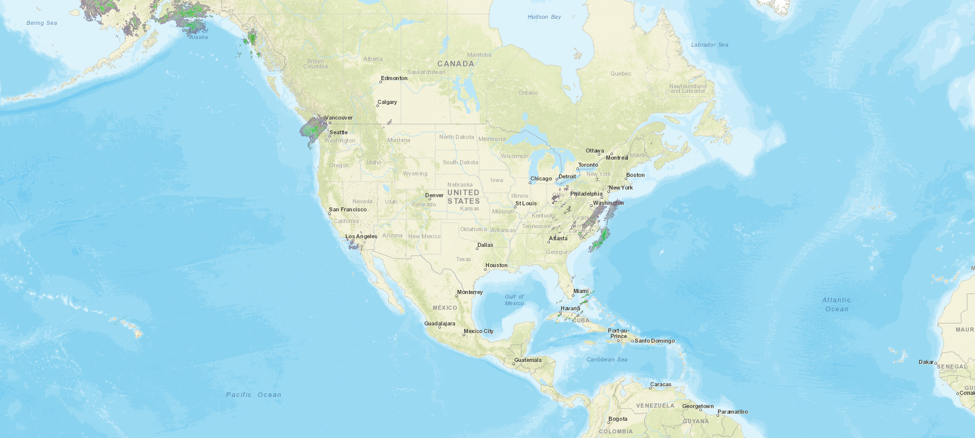
Atlantic
Tropical Storm Probability Map
(Posted from May 15 through Hurricane Season and when possible Tropical Storm is detected)
Atlantic 2-Day Graphical Tropical Weather Outlook


(Click
on graphic for further information)
Area and Local Weather
National Weather Service Jacksonville Home Page
Flagler County Weather Forecast
Flagler County Emergency Management Weather Stations
National Weather Service Radar Links
Southeast Radar Standard Version
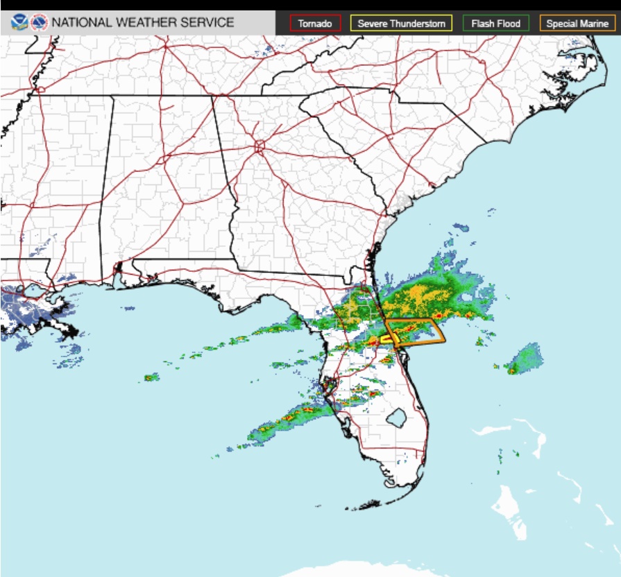
Please click on graphic to open Standard Southeast Radar loop.
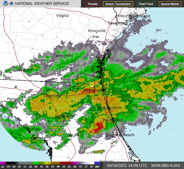
KJAX Radar Standard Version
Please click on graphic to open Jacksonville Centered Radar loop.
Jacksonville Centered Radar
Please click on graphic to open in a new page. Click on play button in lower left to animate.
Jacksonville Centered Radar
Please click on graphic to open in a new page. Click on play button in lower left to animate.
National Radar Mosaic
Please click on graphic to open in a new page. Click on play button in lower left to animate. NWS
Graphics
This link is to the NWS graphic probablistic weather prediction page.
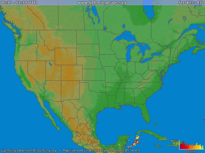
Real Time Lightening Tracker (Beta) Severe
Storms National
Maps For
Information on Tropical Cyclone activity, monitor For
information on Severe Weather activity, monitor
NWS
Storm Prediction Center
Weather
Alert Radio Information
Click
on the graphic below for information about NOAA Weather Alert Radios
And
click below to learn how to set your receiver to receive only messages for your
area. Links to Other Sites The following
sites sites provide valuable information. National
Weather Service Other Weather Links (Non-governmental) Tropical
Atlantic Storm Models The
Skywarn Program Skywarn
is a program developed by the National Weather Service (NWS) to enable
people to report severe weather conditions to the local Weather Service
office. Meteorologists from the local NWS office teach both basic and
advanced classes in various communities in their coverage area. The
Basic Skywarn class teaches fundamental elements of storm spotting.
The Advanced class expands on this information,
going into more detail. The
next Flagler County Skywarn courses, Basic and Advanced in one session,
will be held at the Flagler County Emergency Operations Center in Bunnell,
FL. They will be taught by a National
Weather Service Jacksonville meteorologist. To sign up, call
Bob Pickering, Emergency Management Technician, at (386) 313-4250 or e-mail
BP@flagleremergency.com. [IMPORTANT:
Skywarn Classes may be canceled with short notice should severe weather
or a tropical cyclone pose a threat to the forecast area. All potential
class attendees should check on the day of the class to insure that
the class has not been canceled.] Who
Can Be A Storm Spotter? Flagler
Skywarn storm spotters are trained by staff of the National Weather
Service in Jacksonville, Fl. The classes are free and anyone
can become a Skywarn storm spotter.
Classes in Flagler County are generally held at the Flagler County Emergency
Operations Center. Pre-registration is required. During our tropical
weather season, NWS meterologists are frequently required to be on duty
at headquarters and there are usually no classes scheduled locally. Flagler County was recertified by the National
Weather Service as a Storm Ready community.
The initial certification was issued in December, 1999, the first in Florida. Skywarn® and the Skywarn® logo are registered
trademarks of the National Oceanic and Atmospheric Administration, Webpage Designed, Owned and Maintained By
Please click on the graphic for the latest and much more extensive information.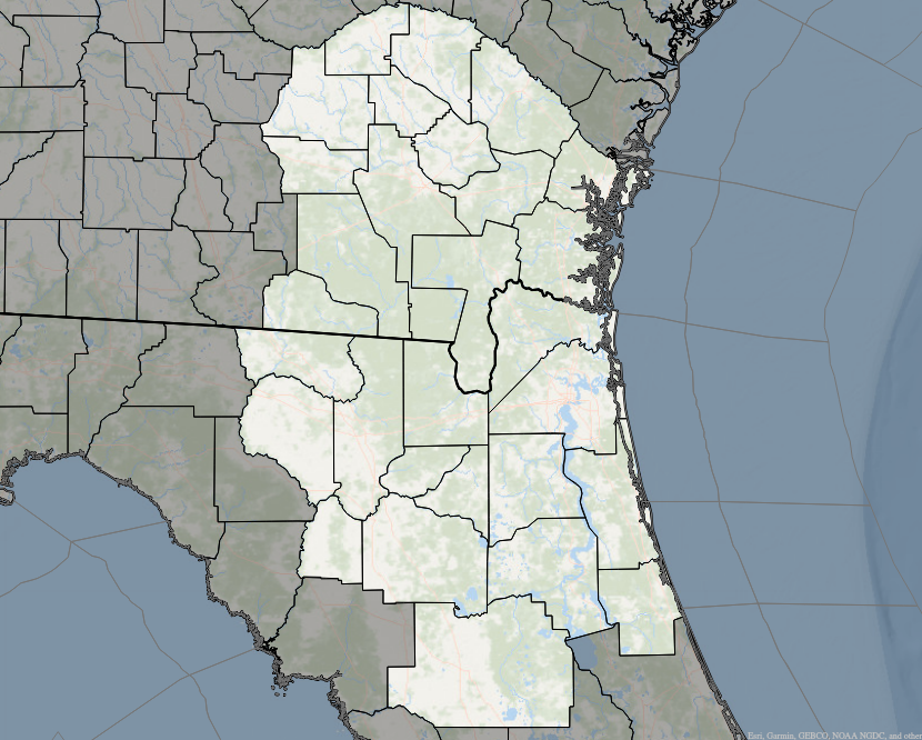
(Click on graphic below)


(Specific
Area Message Encoding -- SAME)
National Weather
Service Home Page
National Weather
Service Jacksonville, FL Home Page
NWS
JAX Short Range Base Reflectivity Radar
NOAA Satellite Services
Division
NOAA
GOES Satellite Views (many options)
NOAA
Realtime Tropical Storm Specific Satellite Views
NOAA
Hazard Mapping System Fire and Smoke Product
NWS
Melborne, FL Short Range Base Reflectivity Radar
NWS
Tampa, FL Short Range Base Reflectivity Radar
All NWS Radar Sites
National Weather Service
Storm Prediction Center
National Weather Service
National Hurricane Center
National
Weather Service Climate Prediction Center
National
Center for Environmental Prediction Model Analysis
NOAA
Tsunami Preparedness Page
[Click on Storm Name,
Scroll down, select product]
SpaghettiModels.com
Anything
Weather
Another Source
for Environmental Prediction Models
Tropical Cyclone
Model Guidance
University Corporation
for Atmospheric Research Courses
Natural Disaster Safety
Disaster Preparation Links
The Weather Channel
Weather Underground
WESH2
TV Doppler Radar
WFTV9 TV Weather (Includes Interactive
Doppler Radar)

used with permission.
Sam Carcione